
If you can find your way through Livermore to the Del Valle Regional Park, you earn the privilege of slogging up and down some of the most ass-busting hills in the Bay Area along the Ohlone Wilderness Trail, which starts in Livermore and ends in Fremont, 28 miles later. I’ve hiked all but five miles of it, camped out along it, learned new definitions of sweat-drenched misery along it. Need I say it’s one of my favorite trails in the area?
The Fremont end of the trail is at Mission Peak, which always draws crowds. The Del Valle end is far less crowded, and the views are spectacular from about 20 minutes into the hike. In practically no time you’re out there in the wilds, usually by yourself. That’s the upside. The downside is the hills. They are evil. It’s like they resent being trampled upon or something.

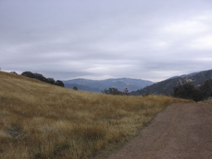
Here’s a look at one of the hills. The first couple miles are up, up, up, and, for fun, up some more. All old ranching roads, unfortunately, but you’ve got to go this way to get to the good parts.

The trees out here rule.
The first ridge tops out at about 2400 feet, rising 1700 from the trailhead in the park. From here it goes back down to a creek crossing at 1800 feet.

Trees fill the gulch.

Small puddles at the crossing.

From here begins the Big Burn, another 1600 feet of climb. It zigzags up the hillside through dense brush and forest. It’s excruciating, but the scenery is to die for.

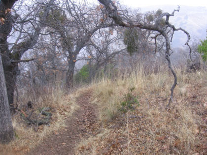
More of them cool trees.

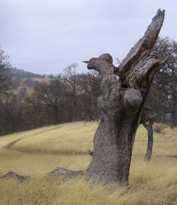
Perhaps the greatest dead tree in all the hikes I’ve gone on. Someday I’ll come up here and spend an afternoon shooting it from a hundred angles.
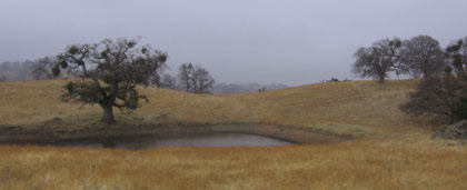
I paused for lunch by this pond, just under 5 miles from the trailhead. Then it started to rain so I headed back.
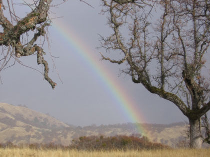
Rainbow! My Irish genes make it difficult to resist the urge to go looking for a pot o’ gold at the end of it.
The grass up here is positively blond, a remarkable shade of yellow that the camera doesn’t do justice to.
Back down the hill, where rain and fog awaited.

Back up the hill, where clouds fill the valleys. From here it’s downhill all the way back to Del Valle, which is a good thing, because the ol’ legs haven’t got a whole lot of up left in them by now.
I hiked this trail last February on the way to Murietta Falls. Here’s my writeup. The falls are still dry, I’m guessing … the time to go check ’em out is after a week’s worth of rain.
Tom, I too love the Ohlone – Diablo range wilderness! Great shots!