
Skyline Boulevard, otherwise known as California Route 35, runs along the spine of the Santa Cruz Mountains and is among the prettiest drives in the Bay Area. One of the nice things about Skyline is that if you take a notion to take a walk among these lovely hills and trees, there are miles upon miles of trails down into the valleys and back up to Skyline to work off the urge.
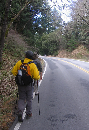
On Saturday two of my recent trekking cronies — Winehiker Russ and his roommate, Vindu (who, oddly enough, works in my former office on the Merc’s opinion pages) — hopped in the Hiker Hauler and directed me to the Grizzly Flat trailhead, which has excellent hiking on either side of Skyline Boulevard a few miles north of Saratoga Gap: To the east, the trails dive deep down a hillside into Upper Stevens Creek County Park; to the west, across the road, they venture into the Long Ridge Open Space Preserve. Loop hikes abound, and if you’re real brave you might hike both sides of the highway, as we did. Our hike tallied about nine miles but many longer options await the truly ambitious (or fool-hardy).
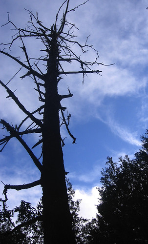
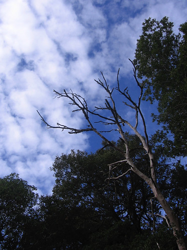
Here’s an excellent dead tree along the Grizzly Flat Trail heading downhill into Upper Stevens Creek Park. The incline is a bit of a toe-jammer and we were only too happy not to be coming back up this way.
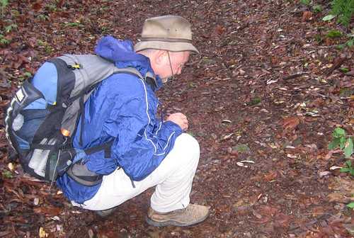
So what’s got Russ’s attention on the valley floor?
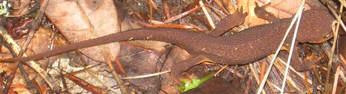
Look, Ma, a California newt! (They’re very laid back and known to sip Pinot Noir — hey, Russ has another potential reader for his blog!).
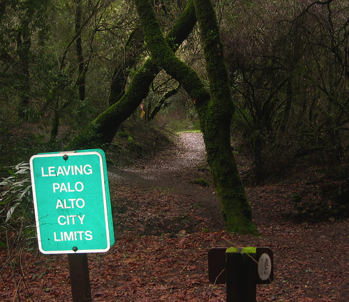
After a couple miles, this informative sign reveals we are leaving Palo Alto. Funny, I never knew we were in Palo Alto (owing to the utter absence of Beemers and Porsche Boxters nearby).

Now, see, this is my idea of wildlife photography: a mushroom is only the tiniest bit slower than a banana slug, so they never run off when I’m trying to get my camera out of its case and turned on and focused and clicked.
Before long we start going back up all that way we had just come down. The forest is incredible along the way, but the nice uphill hike starts feeling more like a brutal slog after about the third mile.
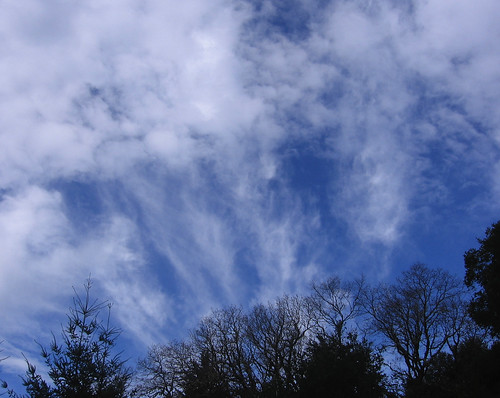
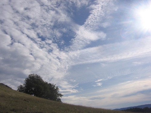
Once we get back near the top of the ridge, the sky opens again. It was a perfect day for taking pictures of clouds doing that airbrush thing.
A slight wrong turn took us back to Skyline Boulevard, where we headed north for a few hundred yards to the Long Ridge Open Space Preserve trailhead and turned left.
Sorry, but I’m gonna have to bore y’all with a few more of these sky-paintbrush pictures.
After six-plus miles under tree cover it was nice to hit the open country at Long Ridge. And we had all the hard hiking out of the way. These views felt like a just reward.
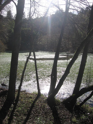
A pond along the Peters Creek Trail at Long Ridge.
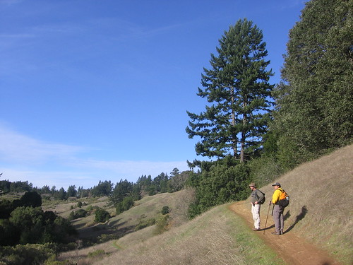
Russ and Vindu take one last long look at the scenery before heading back to Highway 35.
You pretty much can’t go wrong in any of the open space preserves along Skyline Boulevard. They tend to get a bit of mountain-biker traffic but the trails are always well marked and maintained. And there are always lots of maps at the trailheads. Too bad I live on the opposite side of the valley. Well, not that bad, because I’ve got all these hills over here to hike in too.
These days, having hiked with Tom a few times, I can almost guess when he’s going to photograph something — especially if it’s a dead tree. Now if I could just anticipate what he’s going to write so I could scoop him every once in a while in my own blog….
It’s been a slice o’ heaven this year, Tom. Let’s do it some more in ’07.