
Well, you wouldn’t have wanted to spend much time up in the hills where it was really blowing.
Which is to say, that’s exactly where I was for about six hours.
I’ve had it in my head for some time to check out a stretch of trail connecting Monte Bello Open Space Preserve with Upper Stevens Creek County Park. It’s called Canyon Trail because it’s in that canyon between Skyline Boulevard and the Black Mountain summit. Last December I took a swell hike with Winehiker Russ that took the plunge from Grizzly Flat Traihead on Skyline down to the Canyon Trail, but the fact that we’d turned right that time created an itch to see what lay in the leftward direction.
So yesterday I took the left turn. And figured out why seasoned hike-guider Russ took us the other way. It’s not that there’s nothing to see on the Canyon Trail. It’s just that it’s utterly unremarkable. On the upside, it was out of the wind.
The wind blew, and blew, and blew. Sometimes it gusted. Bits of blue sky showed up in occasional breaks from the clouds hovering over the ridges, but mostly it was gray, with unexpected bone-chilling cold if the breeze hit just right. I kept thinking the afternoon sun would burn off some of the clouds, and it did, but not where I was hiking. On the drive home I noticed the sky over the valley was dotted with lovely clouds casting shadows on the east hills. Just my luck, all the sky candy’s happening somewhere else.
I did take a few pictures.
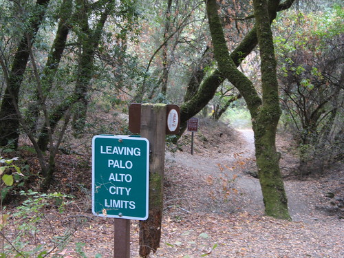
Another motivation for this route was to photograph this sign again. Because if you’re two miles deep into the woods, you’re going to need to know which governmental entity has jurisdiction over this patch of dirt. (If anybody knows the real reason why this sign is here, I’d love to hear it.)
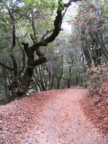
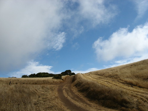
The Canyon Trail is mostly tree tunnel but it does look out over the Skyline Ridge at this point.
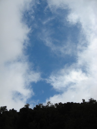
Clouds doing the crazy-sky thing.
It really felt like autumn out there … that is, autumn in a place with actual changes of seasons.
So I was feeling frisky and decided to dash up to Black Mountain on the Indian Creek Trail. It’s an old ranch road that’d do Henry W. Coe proud. It was cold enough that it felt good to be moving up a steep hill.
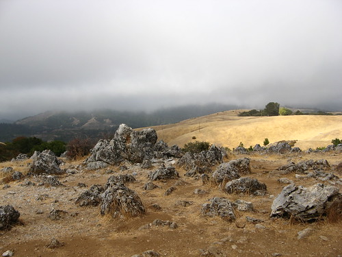
On a day like this you can see, well, lots of clouds at Black Mountain’s summit. It was blowing like the Ides of March up there … I didn’t linger long.
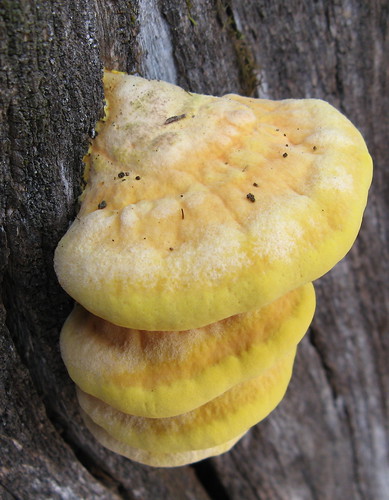
I doubled back to the Stevens Creek Nature Trail, where I saw these swell ‘shrooms, then headed over to an old road that links to Skyline Ridge Open Space Preserve. It’s a far saner climb than trying to go back up the Grizzly Flat Trail.
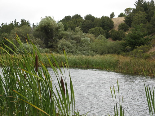
Horseshoe Lake at Skyline Ridge is a great place to stop for lunch.
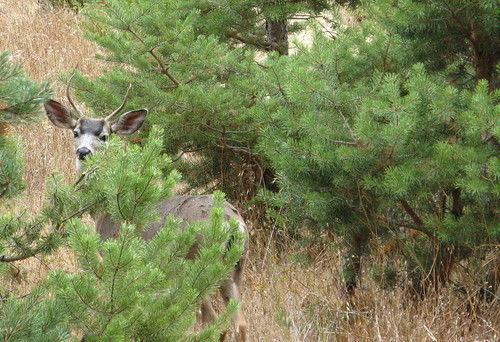
I took the Bay Area Ridge Trail to Long Ridge Open Space Preserve to get back to the car. The path goes through a Christmas tree farm, where I saw this young buck hiding among the pines.
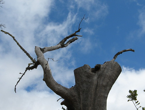
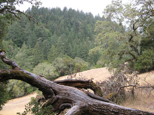
Another fine dead tree.
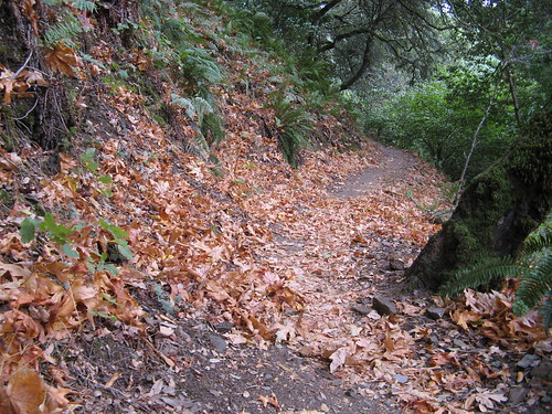
There’s a very pretty stretch of the Ridge Trail just beyond the Christmas tree farm heading south.
Overall this is a hike of about 12-13 miles. For a truly intrepid trek , start at Saratoga Gap, head north on the east side of Skyline till you get to Los Trancos Open Space Preserve, then head over to Coal Creek, then over to Russian Ridge and return via Skyline and Long Ridge open space preserves. I’m not sure of the exact distance, but it’s at least a few miles north of 20.
Quite a nice little outing, Tom! Some good snaps!