
 Nobody asked me to document the Sauratown Trail, and I’m sure the last stragglers among my Bay Area readers wish I would move on to sexier terrain, but I feel like this stretch of dirt deserves bloggage. The trail itself is so-so, but the effort that went into getting it built is something else. As I mentioned last time, local hikers and horse riders just made up their mind to do it, then did it.
I doubt these posts will inspire any decisions to explore the Sauratown Trail or die trying. Then again, maybe a few will stop by and think “hey, they built their own trail, why can’t we?” That’d be cool with me.
My latest Sauratown trek happened a couple weeks back in a welcome break from the worst-winter-in-ages we’ve been having in North Carolina’s Triad this year. It was sunny morning that warmed up nicely, with only one annoyance: abundant mud. The Sauratown Trail Association recommends avoiding the trail when it’s muddy — hiking is bad enough on trails this squishy; riding horses is out of the question.
The route
Combining sections 12 and 13 makes an easy 6.5-mile out-and back hike. Best way to do these together is to park near the east end of Section 12 along Brims Grove Road (there’s no parking at either end of Section 13). Here’s a Google map of the area:
View Sauratown Trail in a larger map
Section 13 is the long purple route; Section 12 is the short orange one; the Brims Grove Road parking area is at top center.
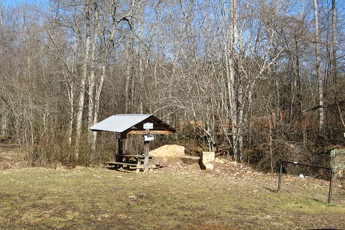
Here’s a shot of the parking area:
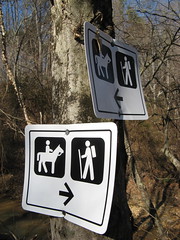
From there you cross the road, turn right and stroll up the shoulder till you see markers — one for Section 11 (which I’ll cover next time) on your left and one for Section 12 straight ahead.
It looks like this. (Tip for shutterbugs: see how rich the color is in early morning with the sun behind you? Even boring pictures of trail markers look better in this light).
Section 12 notes
You stroll up the roadside for a short stretch, then turn southwest at a trail marker and head into the woods. This section brushes right up against somebody’s farm, and it feels a bit like trespassing to be so close to their back yard. No, it ain’t wilderness; yes, it’s a unique experience.
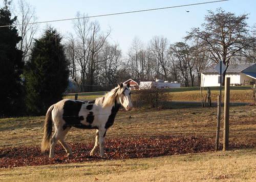
Eventually you’ll come out on a gravel road, turn right and cross Volunteer Road. You might see this steed along the way.
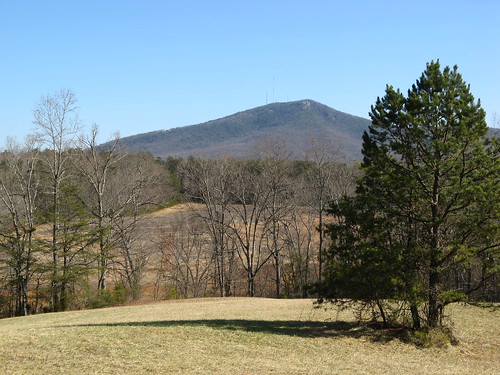
Sauratown Mountain will be visible on your return trip if the skies are clear.
Section 13 notes
This is my favorite of the five Sauratown Trail sections I’ve hiked to date. The first section parallels a creek so there’s abundant running-water vibes to calm the mind, then there’s a potentially harrowing creek crossing followed by a pretty hike through pine woods till you reach the west end and do it all over again on the return leg.
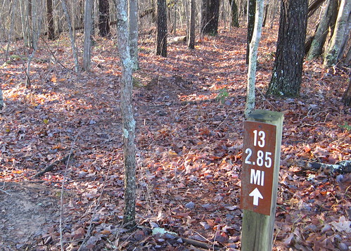
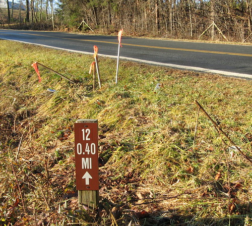
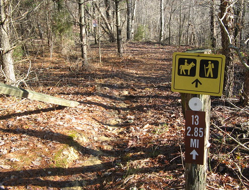
After you cross Volunteer Road, you follow the shoulder of Coon Road till you see this sign on the left. The descent into the deep woods is rapid — the sound of cars on the road fades quickly.
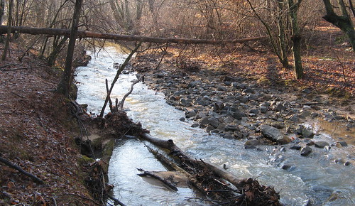
Soon you’ll be getting all riparian along this creek.
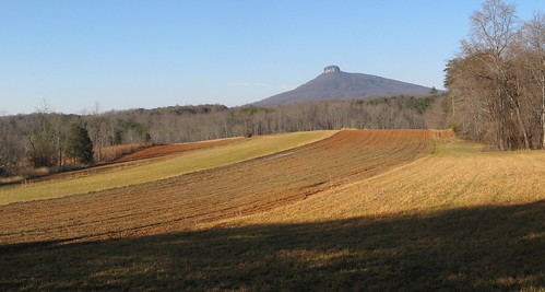
The trail hugs the timber at the edge of this farmer’s field. This is the muddiest part of Section 13.
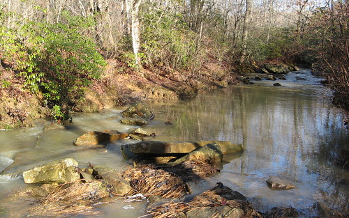
Then there’s this creek crossing. The water was just high enough to make the footing just precarious enough to soak my feet in both directions. A hiking staff is very handy here.
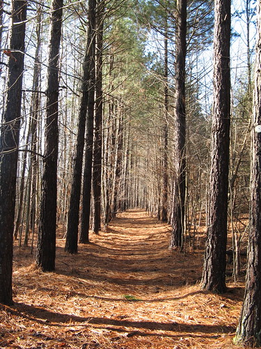
This section passing through a pine grove was among the prettiest along the way.
Here’s the sign at the west end of Section 13, near Bradley Road, where you reverse track and retrace all your steps.
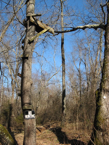
I found this amusing: A no-hunting sign under a deer stand. Which reminds me: the Sauratown Trail is closed in December for deer-hunting season. As a courtesy to hunters (you know, the guys with the guns) it’d be kind to stay off the trail for the last couple weeks of November, too, so the woods revert to a more natural state of hunter and hunted.
Sauratown Trail links
- EveryTrail GPS tracks
- Sections 14-16
- Sauratown Trails Association.
- Trail descriptions, by section.
- Map download (PDF)
Sauratown Trail Google map.
View Sauratown Trail in a larger map